
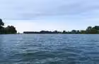
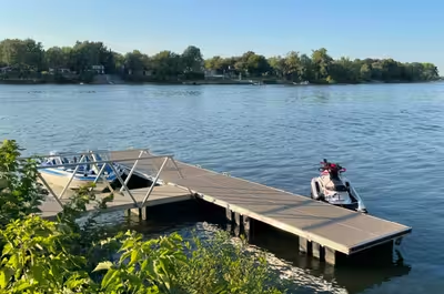
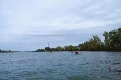
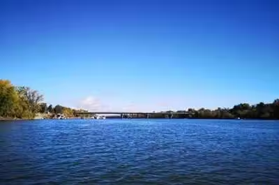
This 7.6 km out-and-back route between Prudent-Robert Park and the municipal wharf in Saint-Mathias-sur-Richelieu follows shorelines lined with waterfront homes, private docks, and wooded areas. Taking approximately 2 to 4 hours to complete, this accessible paddling trip blends a charming riverside atmosphere with the vibrant character of the local community. A wonderful way to discover the Richelieu River from a different perspective.
La route bleue – Rivière Richelieu – Parc Prudent-Robert au quai municipal de Saint-Mathias-sur-Richelieu
Contact details
Parc Prudent-Robert
135 Chemin du Richelieu, Saint-Basile-le-Grand, Québec, Canada, J3N 1M4
135 Chemin du Richelieu, Saint-Basile-le-Grand, Québec, Canada, J3N 1M4
45.50549575, -73.25373594

La route bleue - Rivière Richelieu - 1 © La route bleue

La route bleue - Rivière Richelieu - 2 © La route bleue

La route bleue - Rivière Richelieu - 3 © La route bleue

La route bleue - Rivière Richelieu - 4 © JFG Vidéo Production


Activities
Water sports activities
Whitewater canoeing
Recreational canoeing
Whitewater kayaking
Sea kayaking
Recreational kayaking
Stand-up paddle boarding (SUP)
Rabaska
Facilities
Infrastructure and equipment
Boat ramp
Comfort and amenities
Restrooms
Services
Restaurant and food services
Picnic area
Visitor services
Drinking water
Getting there
Parking
Free on-site parking
Last updated: July 22, 2026
Discover nearby places




Recently viewed
Looking for something to do in Saint-Basile-le-Grand? La route bleue – Rivière Richelieu – Parc Prudent-Robert au quai municipal de Saint-Mathias-sur-Richelieu is listed by Sortir au Québec among hundreds of ideas for your evenings, weekends and getaways.