
This 7.4 km out-and-back route takes you to the mouth of the L’Acadie River, where its waters meet the Richelieu River. Over the course of 2 to 4 hours, explore a peaceful area surrounded by lush vegetation, agricultural landscapes, and small natural islands. Ideal for a relaxing outing, this route offers a wonderful opportunity to experience the beauty of the Montérégie countryside from the water.
La route bleue – Rivière Richelieu – Embouchure de la rivière L’Acadie
Contact details
Parc Prudent-Robert
135 Chemin du Richelieu, Saint-Basile-le-Grand, Québec, Canada, J3N 1M4
135 Chemin du Richelieu, Saint-Basile-le-Grand, Québec, Canada, J3N 1M4
45.50549575, -73.25373594

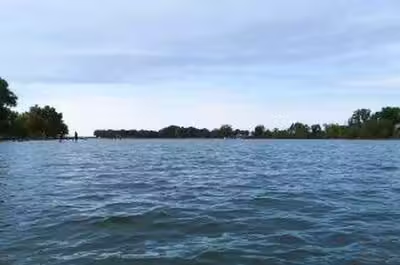
La route bleue - Rivière Richelieu - 1 © La route bleue
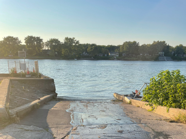
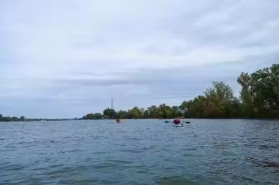
La route bleue - Rivière Richelieu - 2 © La route bleue

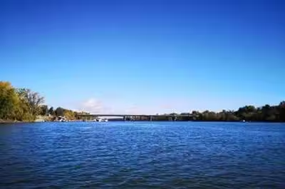
La route bleue - Rivière Richelieu - 3 © La route bleue
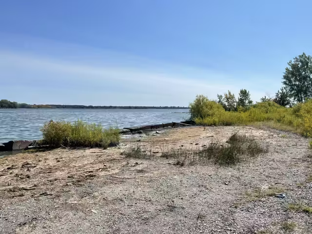
La route bleue - Rivière Richelieu - 3 © La route bleue


Activities
Water sports activities
Whitewater canoeing
Recreational canoeing
Whitewater kayaking
Sea kayaking
Recreational kayaking
Stand-up paddle boarding (SUP)
Rabaska
Facilities
Infrastructure and equipment
Boat ramp
Comfort and amenities
Restrooms
Services
Restaurant and food services
Picnic area
Rental
Recreational canoe
Recreational kayak
Stand-up paddle board
Life jacket
Visitor services
Drinking water
Getting there
Parking
Free on-site parking
Last updated: July 20, 2026
Discover nearby places




Recently viewed
Looking for something to do in Saint-Basile-le-Grand? La route bleue – Rivière Richelieu – Embouchure de la rivière L’Acadie is listed by Sortir au Québec among hundreds of ideas for your evenings, weekends and getaways.