A 175 km network alternating between different types of road surfaces, crossing the L’Assomption River several times.
Order the map and discover our routes:
https://www.tourismejoliette.com/pedaler/
A 175 km network alternating between different types of road surfaces, crossing the L’Assomption River several times.
Order the map and discover our routes:
https://www.tourismejoliette.com/pedaler/

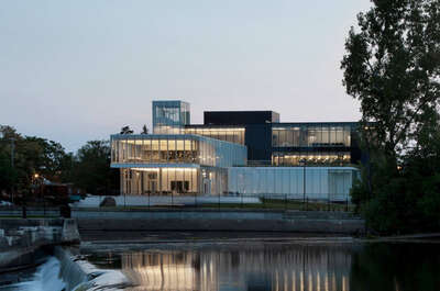
RÉSEAU CYCLABLE MRC JOLIETTE - 2 © Benoit Dupont

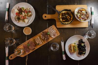
RÉSEAU CYCLABLE MRC JOLIETTE - 3 © Ville Saint-Charles-Borromé

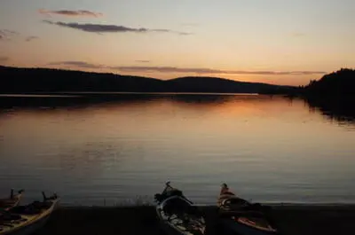
RÉSEAU CYCLABLE MRC JOLIETTE - 4 © Tourisme Lanaudière

RÉSEAU CYCLABLE MRC JOLIETTE - 5 © Tourisme Lanaudière - Louis Coutu